|
|
|
|

|
|
|
|
|
|
The traditional trail head sign picture. Heidi always asks me why I take a picture of the sign. The reason is that I am lazy. When I go to put the pictures into a scrapbook the picture of the sign labels the page so I don't have to handwrite any labels. |
|
|
|
|
|
|

|
|
|
|
|
|
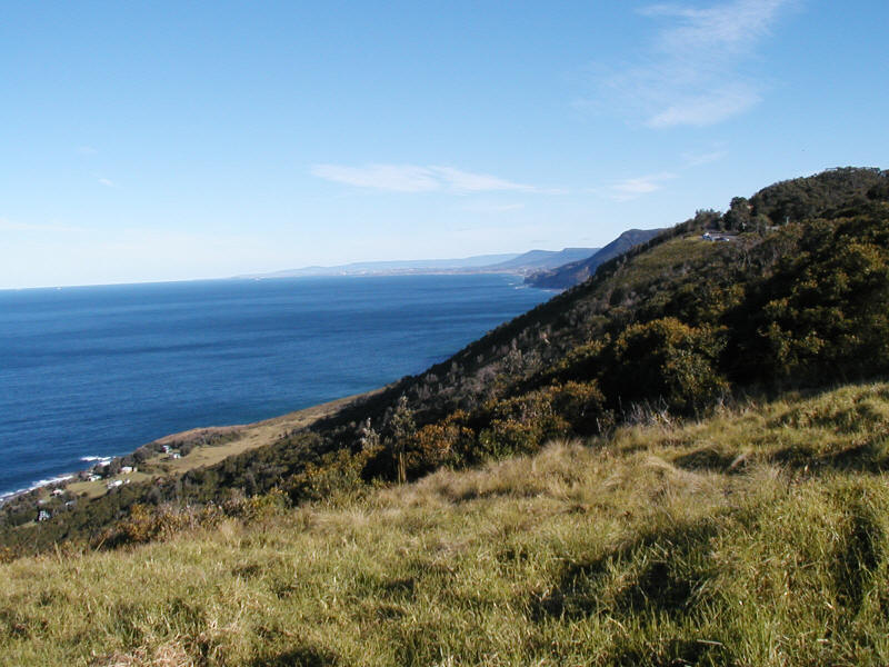
View of the coast south from the Otford Coast Walk parking area. |
|
|
|
|
|
|

|
|
|
|
|
|
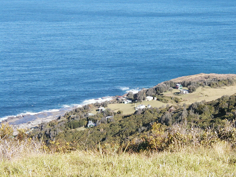
Houses on an isolated rock shelf. We never did find the access road to get to these houses. |
|
|
|
|
|
|
|

|
|
|
|
|
|
View from the cliff top. Just over the edge is a 300 foot drop to the ocean. |
|
|
|
|
|
|

|
|
|
|
|
|
View from the Cabbage Tree Palm Jungle looking north. This sheltered valley really feels like a jungle. Most of the trees are palms and figs. They are covered with vines as you can see in the photo. It is only about a quarter mile from the open gum forest pictured in the photo of the trail. |
|
|
|
|
|
|

|
|
|
|
|
|
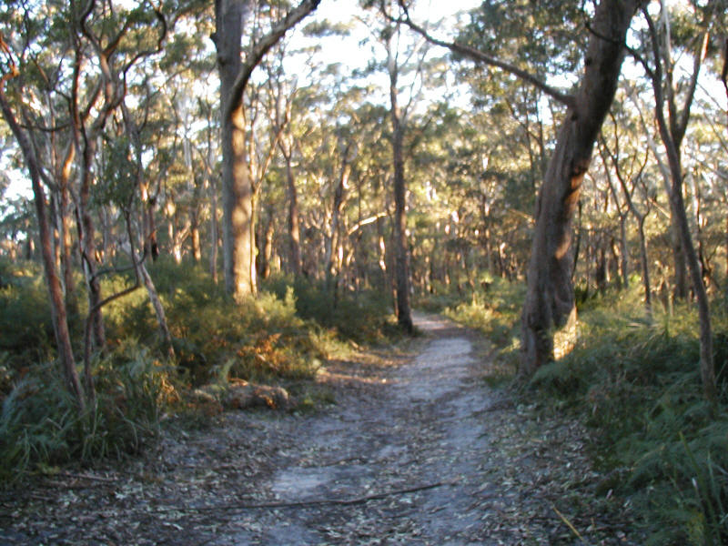
View from the cliff side path through the gum trees. |
|
|
|
|
|
|
|
|

|
|
|
|
|
|
A level spot in the trail where it follows a fire access road. Most of the forest was burned last year, however this section near Otford was spared. |
|
|
|
|
|
|
|